Resellers
Thanks for your interest in our products. This page is set up to clarify which items from our website are published by GeoMatters.
The website is not set up to accept purchase orders but you can email POs to orders@geomatters.com. Please be sure to use the product code numbers found under the product "SPECS" tab on the product's page. For a complete product list contact us at orders@geomatters.com.
New Accounts
We welcome new accounts. To establish a trade account, contact us at office@geomatters.com.
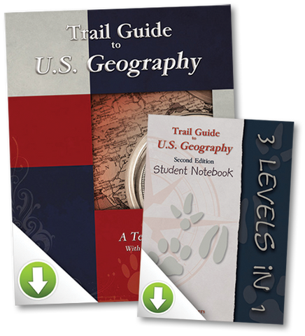
This all-digital package includes the Trail Guide to U.S. Geography Teacher's Manual and the 3-Level Student Notebook. emptyemptyDigital downloademptyempty2015emptyempty
This all-digital package includes the Trail Guide to World Geography Teacher's Manual and the 3-Level Student Notebook. emptyemptyDigital downloademptyempty2009emptyempty
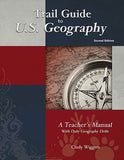
Notice: The new 2025 (C) revised edition will start ship in September. Trail Guide to U.S. Geography is a family-friendly, multi-level geography curriculum guide for students in grades 3 through 12. With its trail markers (animal track icons) guiding your...
This Trail Guide to U.S. Geography Student Notebook is a downloadable set of printable pre-formatted templates and outline maps for creating the awesome personal geography student notebooks recommended in the Trail Guide to U.S. Geography. One of the most common questions we are...
From the authors who brought you Galloping the Globe, comes the U.S. version, Cantering the Country. Learning geography is an adventure, and it's much more than memorizing facts! This unit study course teaches a wide range of academic and character building disciplines...
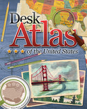
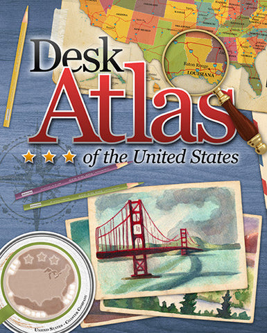
Newly Revised and Updated for 2025! The Desk Atlas of the United States is an intriguing book of maps, history, facts and symbols of each of the 50 American states. Information for each state includes: Summary of Climate, Geography and Features State...
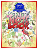
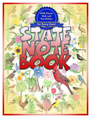
This State Notebook includes an activity page for each of the 50 states with space to put important facts and information about each state. Includes a set of peel-off stickers for every state's official flower, tree, and bird. Great companion...
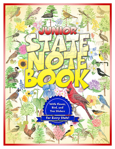
This Junior State Notebook includes an activity page for each of the 50 states with space to put important facts and information about each state. Includes a set of peel-off stickers for every state's official flower, tree, and bird. Great...
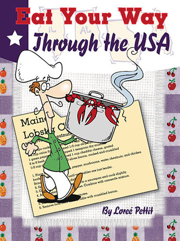
What is the best part of any vacation? The food, of course! The highlight of a trip to Maryland is soft shell crab cakes. A visit to Idaho is not complete without a variety of potato dishes and vacationers plan...
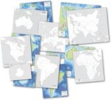
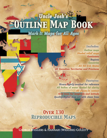
Outline maps are a foundational part of teaching geography and history. Here are hundreds of maps to use year after year, regardless of topic or time studied. From drawing explorer's routes to tracking hurricanes to depicting the rise and fall of...
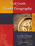
Trail Guide to World Geography is a family-friendly, multi-level curriculum guide for students in grades 3-12 to learn geography. With its trail markers (animal track icon) directed at three different grade levels, this book can be used for more than one...
This Trail Guide to World Geography Student Notebook is a downloadable set of printable pre-formatted templates and outline maps for creating the awesome personal geography student notebooks recommended in the Trail Guide to World Geography. One of the most common...
Word searches, mazes, maps and more...clues, puzzles, and animals galore! What an enchanting way to learn geography—a unit study/discovery learning resource entitled Galloping The Globe. This literature-based geography curriculum is geared towards the K - 4th grade children. Galloping The Globe can be...
Get out the sombrero for your Mexican fiesta! Chinese egg rolls! Corn pancakes from Venezuela! Fried plantains form Nigeria! All this and more is yours when you take your family on a whirlwind tour of over thirty countries in this...
Geography Through Art is the ultimate book of international art projects. Join your children on an artistic journey to more than twenty-five countries spanning six continents. This Internet-linked book includes a variety of project types, from watercolor to paper mache to sculpting and more....
Captains Meriwether Lewis and William Clark are perhaps two of the most famous explorers in U.S. history. Their journey with the Corps of Discovery was an epic undertaking, filled with adventure, danger, and triumph. Many students, however, just see it...
The first volume of Profiles from History relates Stories of Those Who Are Worthy of Remembrance, taking a fresh look a familiar faces. Along with beautiful illustrations and fascinating stories, this book encourages children to think about the motivations of twenty historical figures....
The second volume of Profiles from History introduces Heroes of America's Growth and Freedom, from our country's past. In it you will discover twenty men and women who greatly contributed to the formation and building of America. The strongest connection we can have...
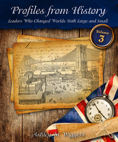
The third volume of Profiles from History tells of Inspirational Leaders Who Changed the World. Students will learn about the character and compassion of some of America's most influential leaders, such as George Washington and Abraham Lincoln. They take their places alongside those...
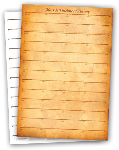
Watch your child's understanding of chronological history soar when they catalog events on this laminated timeline poster! Side one is dated from 4000 BC to 2050 AD. Side two is undated for in-depth studies of any time period. Two and...
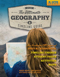
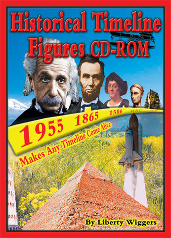
All the same great world history timeline figures from (and also included in) The Ultimate Geography and Timeline Guide are available in color as a digital download! Print as many as you need when you need them. These figures are appealing...
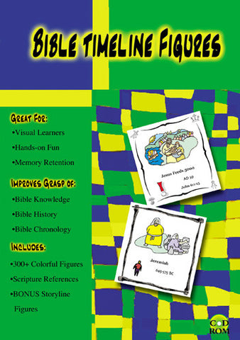
After many requests over several years we're proud to present this set of Bible timeline figures. Designed by our youngest, most meticulous offspring when he was 17, you'll find these figures to be colorful and creative. Over 300 color biblical...
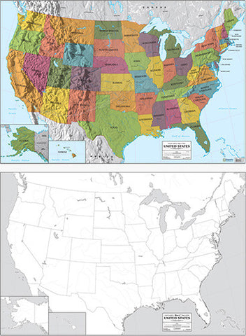
Uncle Josh has designed these beautiful double-sided, color USA & world maps for use in any home or school. Each of the two double-sided maps includes a vivid color labeled map with physical terrain demonstrated in shaded relief on one side, and...
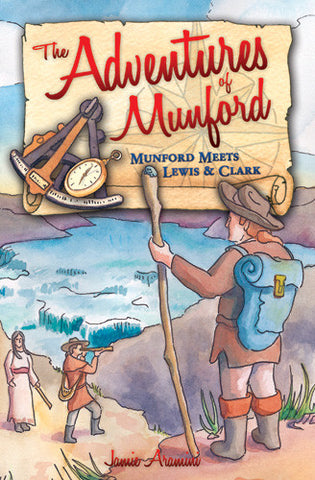
In Munford Meets Lewis and Clark, join Munford on an epic adventure with Meriwether Lewis and William Clark, as they make their perilous journey in search of the Northwest Passage to the Pacific Ocean. Fun and educational, Munford will inspire...
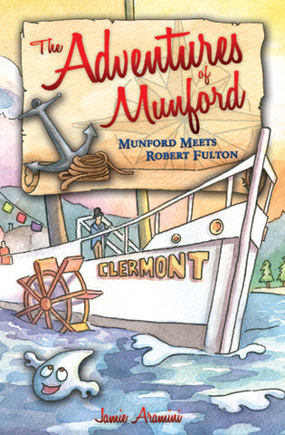
In Munford Meets Robert Fulton, Munford meets a young boy in colonial America with a knack for inventing. The boy grows up to become one of the world's leading inventors, Robert Fulton! Join Munford and Fulton as they race to...
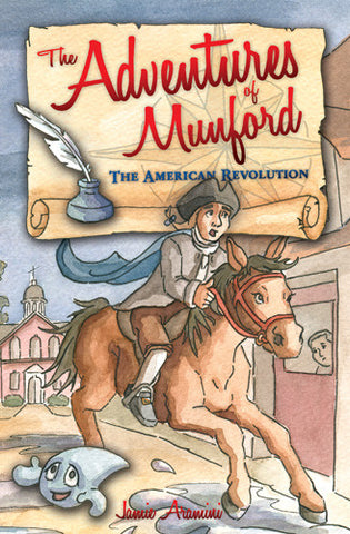
In Munford and the American Revolution, Munford travels to Colonial America and experiences first hand the events leading to the American Revolution. He meets famed American Founding Fathers, such as Samuel Adams, Thomas Jefferson, and George Washington. He joins the Sons...
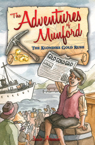
In Munford and the Klondike Gold Rush, Munford finds himself slap into the middle of the Klondike Gold Rush. He catches gold fever on this dangerous, yet thrilling, adventures. Meet some of the Gold Rush's most famous characters, like gold baron...
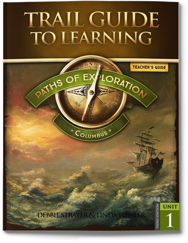
The Paths of American History begin with Exploration. Following the steps of famous explorers and pioneers across America, let geography be your guide to science, history, language skills, and the arts. This journey teaches students HOW to think by asking,...
$270.00 from $30.00
Student notebooking is an integral part of this curriculum. It is one of the benefits of the teaching approach used in the Trail Guide to Learning Series. Notebooking work assigned throughout the teacher manuals are clearly labeled on every student page by unit, lesson,...
$90.00 from $10.00
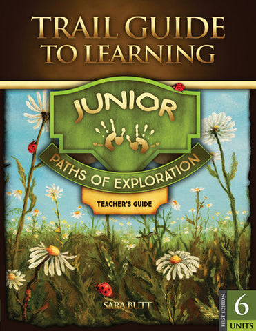
This carefully constructed Junior Extension (K-2) is designed to coordinate with your main Paths of Exploration package and provide you with a flexible and stress-free way to give your younger student a sense of ownership and inclusion in your family learning experience. Your...

