


World & USA Two-Sided Laminated Outline Map
by GeoMatters
Share:


Our flagship map recently received a fabulous upgrade: color!
This was the first map we published, way back in 1990, after purchasing the copyright from Pierson Graphics. Creating an outline map of the world for use by students had long been a goal of Frank Pierson, a cartographer and homeschool dad. Frank was known to ride his bicycle around Denver to verify streets while designing the premier Denver street atlas, which is still available today.
Frank envisioned a new world projection that would make the polar regions more proportionate to the size of the continents. From that idea, the Pierson Hemispheric Projection of the World—nicknamed the “Beer Barrel” projection—was born.
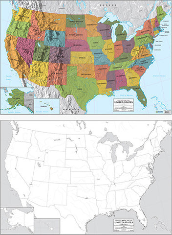
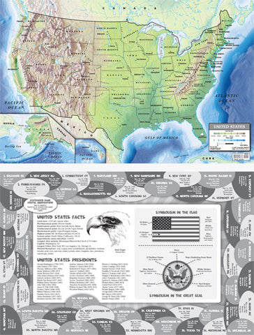
Uncle Josh, founder of Geography Matters, suggested that Frank also create a U.S. map. Eventually, we published the two maps together, back-to-back, with the World Outline Map on one side and the United States Outline Map on the reverse. We laminated the map for write-on, wipe-off use and have been selling it that way for years.
When we first took this double-sided map to conventions, we couldn’t roll the maps and secure them with rubber bands quickly enough to keep the bin filled—it seemed to be the find of the vendor hall! Until then, parents had not had access to such a useful map resource for their homeschool libraries and learning experiences.
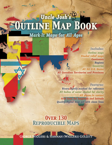
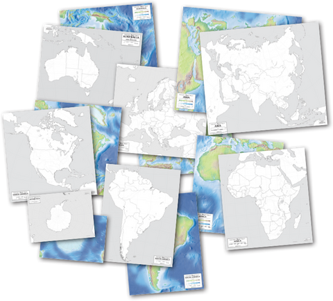
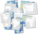
Over time, Uncle Josh obtained mapping software and, with the help of his daughter Hannah, created his own unlabeled maps. These were published in the award-winning, reproducible Uncle Josh’s Outline Map Book. He later added many more maps, creating an expanded collection on CD-ROM called Uncle Josh’s Map Collection. Next came the large individual continent outline maps, with colorful physical-relief maps on the reverse.
For three decades, the original World/U.S. double-sided map remained essentially unchanged. Then, in the fall of 2024, we updated the original map artwork, added color to the bodies of water, and released it as the flagship product of the Rethink Geography series, scheduled to launch in 2027.
Features
-
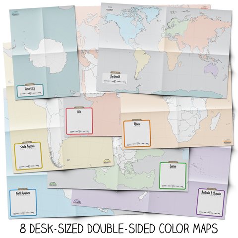
Two maps in one: United States on one side and the World on the other
-
Large 23" × 34" format
-
Laminated for repeated use
-
Unlabeled outlines encourage active learning and recall
-
U.S. state and international country boundaries
-
Major waterways and geographic reference lines
-
Useful for labeling, tracing, review, testing, and lesson demonstrations
-
Ideal for homeschool families, classrooms, and geography enthusiasts
Write, wipe, and explore the world again and again! For the best write-on, wipe-off results, we recommend using Vis-à-Vis water-based markers.
| Publisher: | Geography Matters |
| ISBN: | |
| Edition: | |
| Product: | GM-9809 |
| Format: | |
| Size: | |
| Pages: |