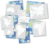
World Map Set by Rethink Geography
by GeoMatters
Share:


NEW for 2025!
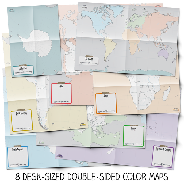
This beautiful World Map Set by Rethink Geography, is comprised of fully revised and updated continent and world map art.
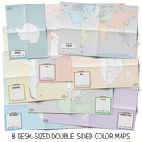
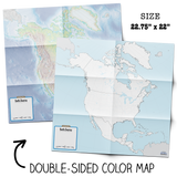
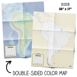
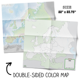
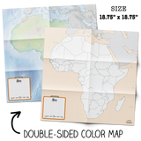
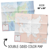
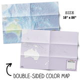
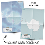
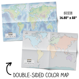
Sixteen desk-size maps printed on large sheets of 100# paper depict color physical relief on one side and political boundaries on the reverse. Color coding aids memory retention and adds structure to any world geography study. Map titles and sizes:
- North America (22.75 x 22)
- South America (22 x 17)
- Antarctica (11 x 15.25)
- Australia & Oceania (18 x 26)
- Europe (22 x 23.75)
- Africa ((18.75 x 18.75)
- Asia (22 x 25)
- World (14.85 x 22)
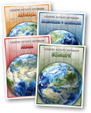
Using a good atlas as a reference, students mark and label the maps. Write in names of countries, cities, rivers and other bodies of water. Label physical regions such a mountains, plains, peninsulas, canyons.
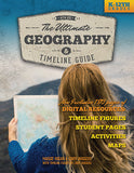
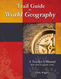
This practice of referencing, locating, labeling, and writing on the maps assists with development of spacial reasoning and critical thinking skills. For mapping ideas and lists you might want to consider Trail Guide to World Geography or The Ultimate Geography and Timeline Guide.
(Replaces GM-1200 Continent Map Set, paper - now discontinued)
| Publisher: | Geography Matters, Inc. |
| ISBN: | |
| Edition: | |
| Product: | RG-2025 |
| Format: | |
| Size: | |
| Pages: |